5-yearhorizon
Planetary boundaries are better understood
Researchers gain a clearer understanding of the interdependence between planetary boundaries and significantly improve estimates of the safe limits for pollution.
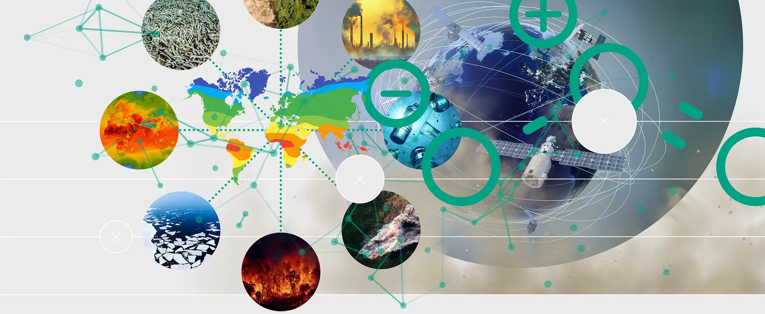
This means that an essential part of Earth Systems modelling involves exploring the interplay across different systems and developing models that take all of the systems into account. This requires integrating data from a wide variety of systems — and from a variety of sources, such as field measurements and remote-sensing technologies.
One of the most high-profile attempts to quantify whole-Earth processes is the concept of “planetary boundaries”. This aims to identify a set of Earth systems, each of which is essential to human survival and wellbeing. An initial assessment in 2009 identified nine, ranging from biosphere integrity and freshwater use to land-system change.14 It further concluded that humanity had already pushed past three of the boundaries, taking our species outside its “safe operating space”.15 However, there are large uncertainties around the size and rate of change we are causing, whether the current list of boundaries should be amended16 and how the different boundaries interact. The “boundaries” framing has also been questioned: in the absence of tipping elements, Earth systems degrade gradually so hard limits are difficult or impossible to specify.
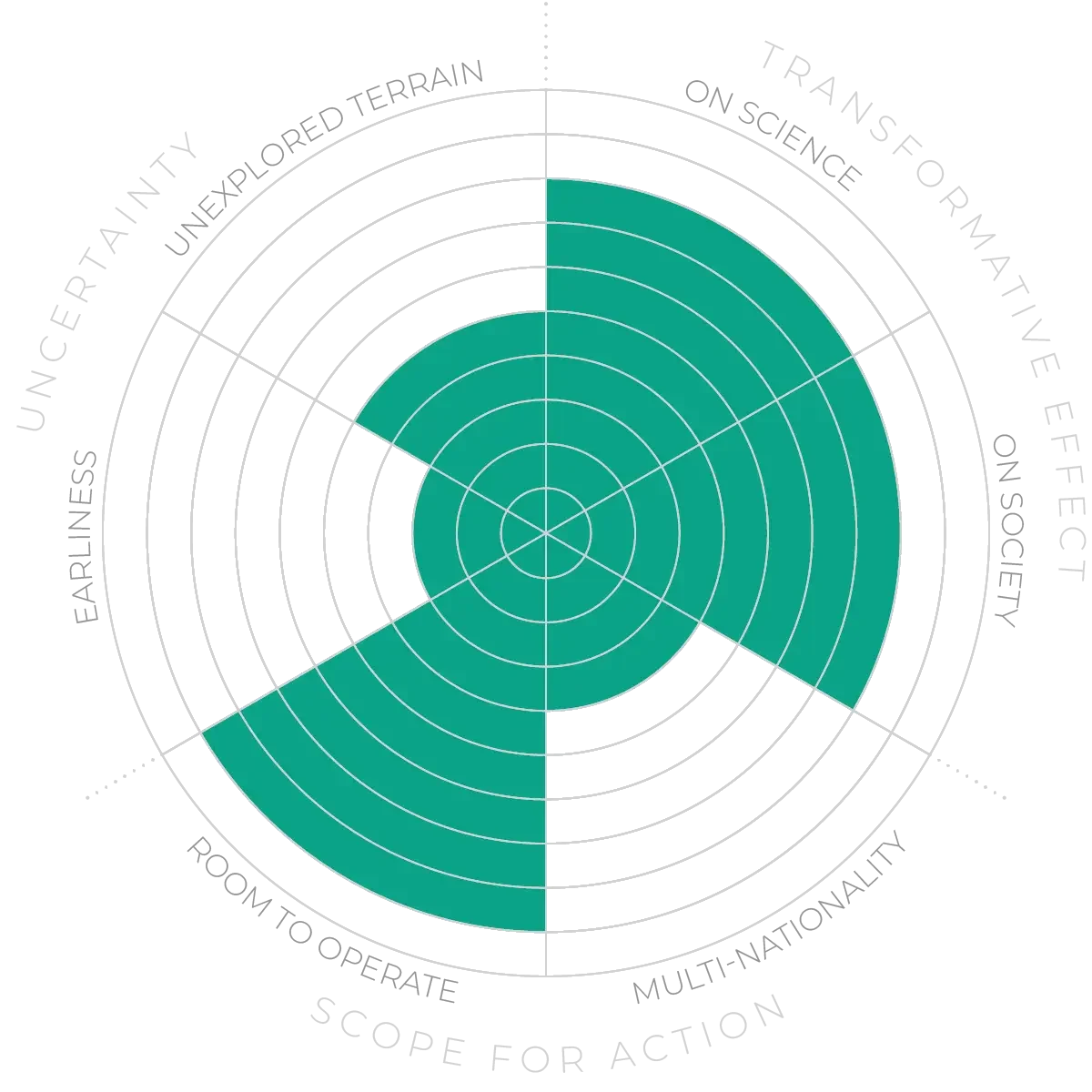
The Anticipation Potential of a research field is determined by the capacity for impactful action in the present, considering possible future transformative breakthroughs in a field over a 25-year outlook. A field with a high Anticipation Potential, therefore, combines the potential range of future transformative possibilities engendered by a research area with a wide field of opportunities for action in the present. We asked researchers in the field to anticipate:
This chart represents a summary of their responses to each of these elements, which when combined, provide the Anticipation Potential for the topic. See methodology for more information.